Remote Sensing Blog

GEOSPATIAL-LOCATION-INTELLIGENCE

GEOSPATIAL-LOCATION-INTELLIGENCE

Leveraging AI and Machine Learning for Advanced Geospatial Analytics in Agriculture

06 Apr 2023

Meta Description: Discover how AI and machine learning are transforming geospatial analytics in agriculture, leading to increased productivity, efficiency, and sustainability. Learn how these technologies can benefit your agribusiness. Keywords: AI, machine learning, geospatial analytics,…

Read More
GEOSPATIAL-LOCATION-INTELLIGENCE

Installing Geo Server and PostGIS on AWS EC2 Instance

10 May 2020

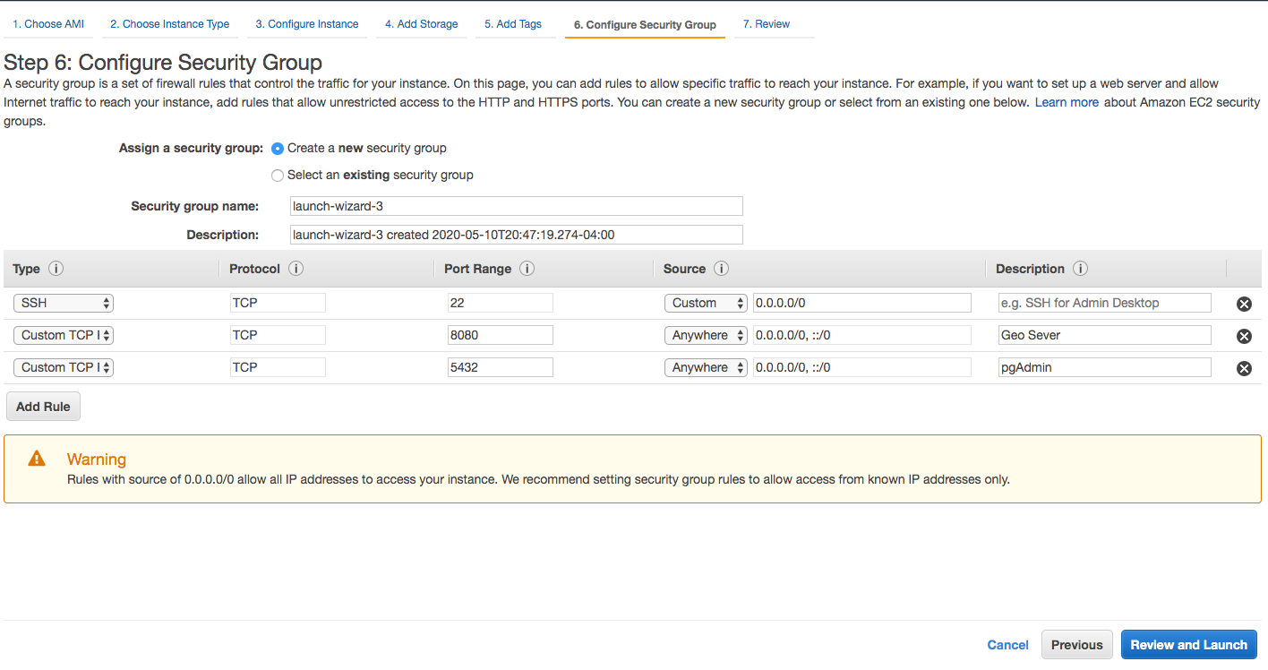
GeoServer and PostGIS provide open source geospatial stack for interactive and dynamic web GIS applications. Remotely360 we have developed quite a few applications where our data engineers needed to set up infrastructure on AWS cloud for geospatial applications. We want to thank Datalya machine…

Read More

show all projects …

REMOTE-SENSING

REMOTE-SENSING

The Impact of Climate Change on Canadian Wildfires: A Remote Sensing Perspective

21 Jun 2023

The recent record-setting wildfires in Canada have had a profound impact on the country, affecting the lives of millions of Canadians. The increasing frequency and intensity of these wildfires are raising concerns about the influence of climate change on fire behavior. This article explores the…

Read More

REMOTE-SENSING

Utilizing Satellite Imagery for Real-Time Wildfire Detection and Monitoring

13 Jun 2023

As businesses operating in various landscapes, it is crucial to be aware of potential risks and have proactive measures in place to protect our assets and ensure the safety of our operations. One significant threat that requires immediate attention is wildfires. The ability to detect and monitor…

Read More

show all projects …

ENVIRONMENT-MONITORING

ENVIRONMENT-MONITORING

Remote Sensing Change Detection in Urban Environments: Monitoring Urban Expansion and Land Use Changes

13 Apr 2023

As urban environments continue to expand and evolve, monitoring land use changes and urban expansion becomes increasingly vital. Remote sensing technology, a powerful tool that enables the acquisition of high-resolution data about the Earth's surface, has emerged as a key resource for tracking…

Read More

ENVIRONMENT-MONITORING

Change Detection Techniques in Remote Sensing: A Comprehensive Overview

12 Apr 2023

Change detection in remote sensing is the process of identifying and quantifying alterations in the Earth's surface over time by analyzing multi-temporal satellite or aerial images. This technique is widely used in various applications, such as land use and land cover monitoring, urban expansion…

Read More

show all projects …