Change Detection
There are many variations of that passages of Lorem.
Learn More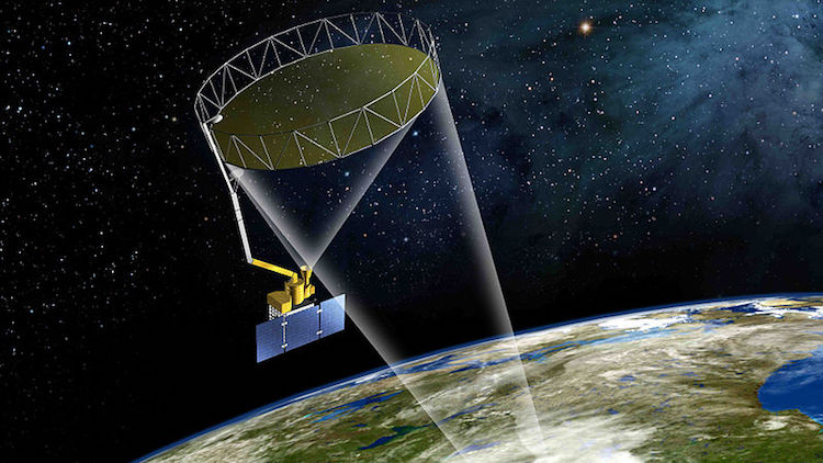
Data acquisition is one of most important task in remote sensing. At Remotely360, we are fully capable to help our clients in acquisition of remote sensing data of any specific geographical location. We can acquire fresh, archived and free data sets depending upon client's requirements of remote sensing data acquisition system. Additionally, we can help you to store, manage and analyze acquired remote sensing data.
Our scientists can even train models on collected data set, and build remote sensing applications to serve your specific business needs.
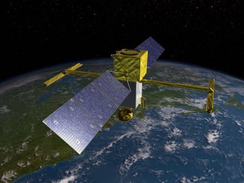
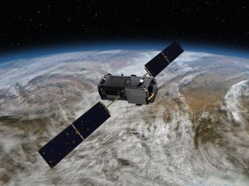
There are three key components of remote sensing: 1) platform - it can be airborne or spaceborn, 2) ground target which can be earth surface or atmosphere under investigation, and 3) the equipment or device to be used for in-situ data acquisition.
They are remote sensing imaging systems to acquire images of required geographical location. Airborne sensors include aircraft, balloon and UAV where spaceborne sensors are satelllite or spacecraft.
Remotely360 weould need to know the geographical location you are interested in, and extend and timeline.
Depending upong requirements, Remotely360 is capable to acquire fresh remote sensing data, archived data or/and free remote sensing data sets.