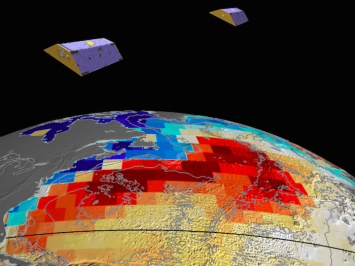
Change Detection
There are many variations of that passages of Lorem.
Learn More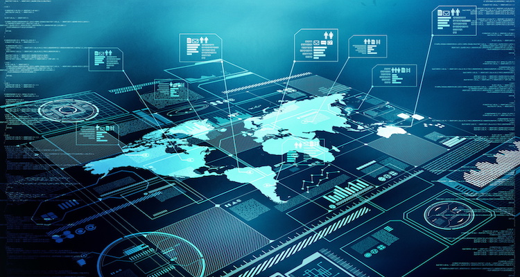
At Remotely360, we not just a team of experienced remote sensing and GIS scientists but have a team fully capable to design, build and deploy end to end GIS and remote sensing products.
For data storage and computing, we heavily exploit emerging cloud technologies. This allows us to build robust, scalable and cost effective geospatial computing infrastructure for our clients.
Having a very specific problem statement is the first step. Secondly, the data set on which your product depends must either be an open source data set or be purchased from relevant data providers and agencies. Without data, we are unable to proceed with model training and consequent deployment.
Yes - we may help clients in ideations process by helping them understand feasibility of different functional requirements.
We do both - as our team of scientists is quite experienced in building end to end remote sensing products.