Infrastructure Monitoring
Critical infrastructure ( such as rail tracks, dams, dikes, bridges, oil pipelines etc.) monitoring using remote sensing technology.

Critical infrastructure ( such as rail tracks, dams, dikes, bridges, oil pipelines etc.) monitoring using remote sensing technology.
Mapping and monitoring of urban footprint using remote sensing and gis mapping - location data analytics and location intelligence.
On land and marine environment monitoring using a wide range of integrated and cutting-edge remote sensing technologies.
Post disaster (earthquake, flood, forest fire and oil spill) damage assessment using remote sensing statellite data.
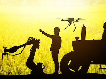
Crop yield estimation at large scale using satellite remote sensing data and machine learning algorithms.
For public and private organization, we do crop yield estimation using remote sensing data.
Remotely360 provides wide range of consulting and development services with focus on geospatial data science & machine learning, geographical information systems(GIS) and remote sensing.
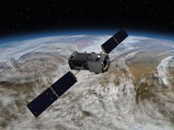
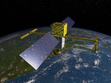
Fresh and archived image data acquisition of specific geographical location - involving spaceborne, airborne, optical, SAR and satellite sensors.
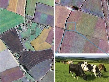
Land cover classification using satellite and aerial multispectral data; image processing, features extraction, image classificaiton and more.

We provide end to end geospatial programming and development involving Python, R, Matlab, Octave, SQL/NoSQL databases, cloud computing - Azure, AWS.
Remote sensing change detection for land use and cover changes, habitat fragmentation, rate of deforestation, coastal change, parking lot consumption, urban sprawl, etc.
Monitoring various crops and forest biophysical parameters, such as crop identification, crop Status, crop yield estimation prior to harvest, based on remote sensing data.

Helping business with 1) unlocking value from wealth of statellite imagery data, 2) evolving strategic geospatial strategy to drive growth.